
 |
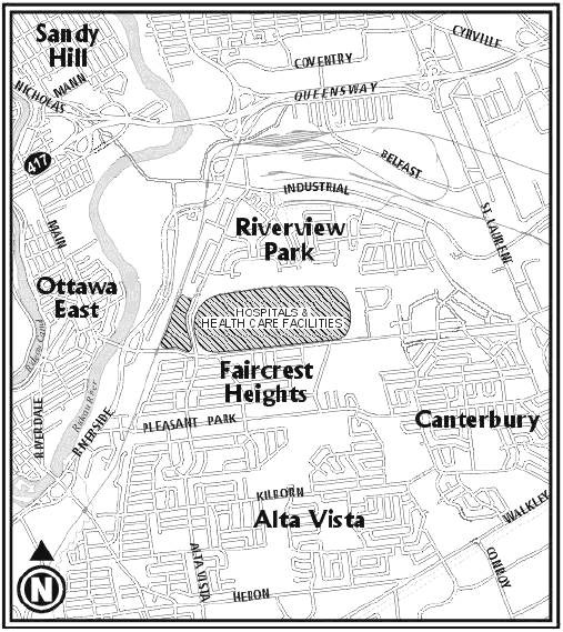
The animation may take 30 seconds to a minute to begin. The animation shows a roadway in the corridor. It also shows where the traffic coming from Conroy and Walkley would go as a result of congestion at the Nicholas Queensway interchange. The darkest red shows the roads (Riverside, Main and Alta Vista) which will be operating at a Level of Service considered failing by the City. This means congestion to the point of stop and go traffic and hence more pollution. This traffic forecast is based on computer-based simulation of the morning rush hour. Having these roads failing will lead to traffic (in orange) on other roads such as Greenfield, King Edward, Lees, Hawthorne and Bank to name a few. As these roads become more congested other residential streets will become candidates for cut-through traffic. |
One of the reasons a roadway in the corridor is a bad idea is because the northern end doesn't have the capacity to handle the additional traffic. In the morning, the proposed roadway would provide reduced congestion at the southern end on roads like Walkley, Conroy, Heron but at the expense of roads at the northern end. The reduced congestion at the south end won't make up for the failure at the northern end. Even though the overall road network has more capacity it would perform more poorly because the network would be less balanced. The additional capacity would be in the wrong place.
Where these results came from
This traffic study was done using a computer based model which simulates over 10,000 individual cars traversing the major arterials in the area surrounding the Alta Vista Corridor. Individual road capacities and the traffic mix (balance of sources and destinations) were set based on existing conditions as published by Delcan in their Existing Conditions Report from 2002 which included both AM and PM rush hours.
Traffic modelling was done for the AM rush hour using traffic volumes as seen today as well as based on the same overall projections the City used for the year 2021. Similar behaviour in terms of the failure of the proposed roadway was observed in both current and future conditions except that in the 2021 case, the magnitude of the congestion in the road network was greater.
The modelling technique used also estimated potential induced traffic. This technique was benchmarked against the APETIS study where it yielded error margins of less than half the error in APETIS. Although the modelling predicts a potential of somewhere in the range of 580 to 1050 induced trips as result of the new roadway in 2021 it should be stressed that much of that induced traffic is not in the peak direction northbound flow (because there is more congestion in that direction). This means that the much of the congestion observed on roads like Riverside, Alta Vista and Main is not improved if one discounts induced traffic. This prediction of induced traffic is within the the short term range as described in the Conference Board of Canada's paper on travel demand quoted below. The implication is that in the long run, the induced traffic might be even higher.
The Conference Board of Canada published a briefing paper in December 2006 titled "Build It and Will They Drive? Modelling Light-Duty Vehicle Travel Demand". On page 2 of that report they acknowledge "The consensus in the literature is that for every 1 per cent increase in road network capacity, there is a corresponding increase in the short run of 0.2 to 0.6 per cent in vehicle kilometres traveled. In the long run, this percent increase rises to 0.6 to 1".